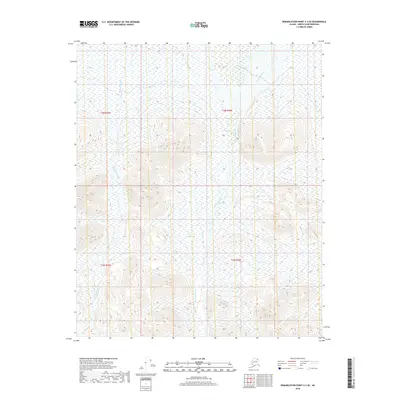
2018 Map of Demarcation Point C-3 SE
USGS Topo · Published 2018About this map
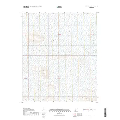
Ekalukkat River dominates the central drainage of this North Slope landscape, flowing northward through a series of high-elevation basins. The terrain is characterized by the complex hydrology of the Arctic, where the Redwacke Creek system (also labeled Redwacke Cr in its upper reaches) carves through the upland sections of the t3n r39e and t2n r39e townships. The map illustrates the stark, unpopulated character of the Alaskan wilderness above the Arctic Circle, defined by its lack of roads or permanent structures. Surveyed within the North Slope Borough, the layout provides a clear look at the township and range grid system as it intersects with the natural contours of the river valleys and mountain foothills.
Find a feature on this map
7 named features on this map. Tap any name to fly to it.
Don’t see what you’re looking for? This feature index may not catch every label — zoom into the map to look around manually.
Map Details
Editions of this 2018 Demarcation Point C-3 SE Map
This is the sole edition of this map. No revisions or reprints were ever made.
Other maps of this area

1951 · Demarcation Point
USGS Topo · 1:250,000

1955 · Demarcation Point
USGS Topo · 1:250,000

1955 · Demarcation Point C-2
USGS Topo · 1:63,360

1955 · Demarcation Point C-3
USGS Topo · 1:63,360
1956 · Demarcation Point B-3
USGS Topo · 1:63,360

1956 · Demarcation Point B-2
USGS Topo · 1:63,360

1964 · Demarcation Point
USGS Topo · 1:250,000
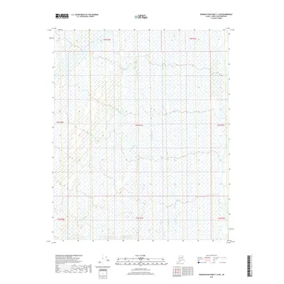
2018 · Demarcation Point C-2 NW
USGS Topo · 1:25,000
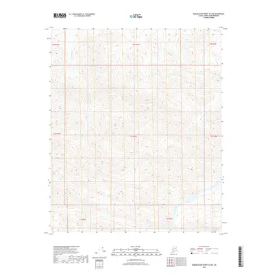
2018 · Demarcation Point B-2 NW
USGS Topo · 1:25,000
2018 · Demarcation Point C-2 SW
USGS Topo · 1:25,000