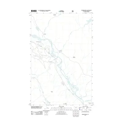
2011 Map of Demers Ridge
USGS Topo · Published 2011About this map
Demers Ridge rises above a dramatic riparian landscape shaped by the North Fork Flathead River and its numerous tributaries. This 2011 survey documents a corridor of protected lands and forest access, where the small settlement of Adair sits near the riverbanks. The geography is defined by a series of significant meadows and bottoms, including Cummings Meadows and Home Ranch Bottoms, which suggest the historic land use patterns of this Montana valley. To the east, the topography ascends toward Glacier View Mountain, while the hydrology is marked by high-altitude waters like Winona Lake and Logging Lake. Evidence of local geological features appears at The Coal Banks along the river, while established forest infrastructure is noted through the Quartz Creek Campground and the Camas Creek Entrance at the southern edge of the sheet.
Find a feature on this map
31 named features on this map. Tap any name to fly to it.
Don’t see what you’re looking for? This feature index may not catch every label — zoom into the map to look around manually.
Map Details
Editions of this 2011 Demers Ridge Map
This is the sole edition of this map. No revisions or reprints were ever made.
Other maps of this area

1906 · Kintla Lakes
USGS Topo · 1:125,000

1938 · Kintla Lakes
USGS Topo · 1:125,000

1957 · Kalispell
USGS Topo · 1:250,000

1960 · Kalispell
USGS Topo · 1:250,000

1961 · Kalispell
USGS Topo · 1:250,000
1966 · Camas Ridge West
USGS Topo · 1:24,000
1966 · Demers Ridge
USGS Topo · 1:24,000
1966 · Huckleberry Mountain
USGS Topo · 1:24,000
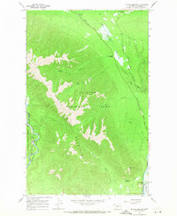
1966 · Mc Gee Meadow
USGS Topo · 1:24,000
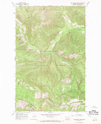
1966 · Skookoleel Creek
USGS Topo · 1:24,000