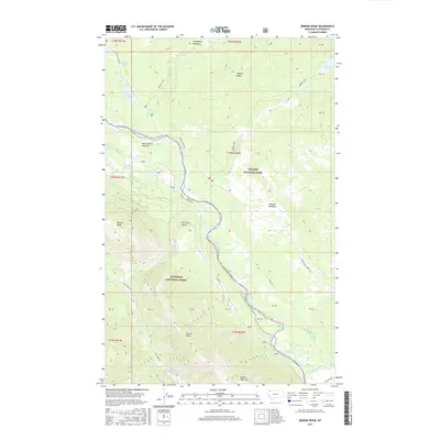
2017 Map of Demers Ridge
USGS Topo · Published 2017About this map
Glacier National Park and the Flathead National Forest converge along the winding course of the North Fork Flathead River on this 2017 study. The area is defined by massive topographic features including Demers Ridge and Winona Ridge, which flank the river valley. Sparse human settlement is centered at Home Ranch Bottoms, connected to the outside world by the N Fork Rd and the Inside N Fork Road. The landscape is a network of drainage systems like Quartz Cr and Logging Cr, feeding into the main river from high-elevation basins. Genealogists and researchers can trace the historic land divisions and the location of isolated landmarks such as The Coal Banks and Glacier View Mtn, which have long served as navigational points in this corner of Flathead County.
Find a feature on this map
77 named features on this map. Tap any name to fly to it.
Don’t see what you’re looking for? This feature index may not catch every label — zoom into the map to look around manually.
Map Details
Editions of this 2017 Demers Ridge Map
This is the sole edition of this map. No revisions or reprints were ever made.
Other maps of this area

1906 · Kintla Lakes
USGS Topo · 1:125,000

1938 · Kintla Lakes
USGS Topo · 1:125,000

1957 · Kalispell
USGS Topo · 1:250,000

1960 · Kalispell
USGS Topo · 1:250,000

1961 · Kalispell
USGS Topo · 1:250,000
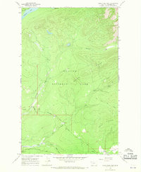
1966 · Camas Ridge West
USGS Topo · 1:24,000
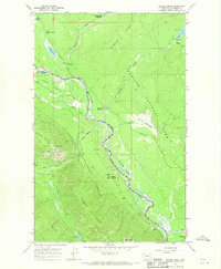
1966 · Demers Ridge
USGS Topo · 1:24,000
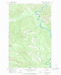
1966 · Huckleberry Mountain
USGS Topo · 1:24,000
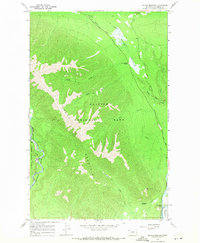
1966 · Mc Gee Meadow
USGS Topo · 1:24,000
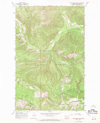
1966 · Skookoleel Creek
USGS Topo · 1:24,000