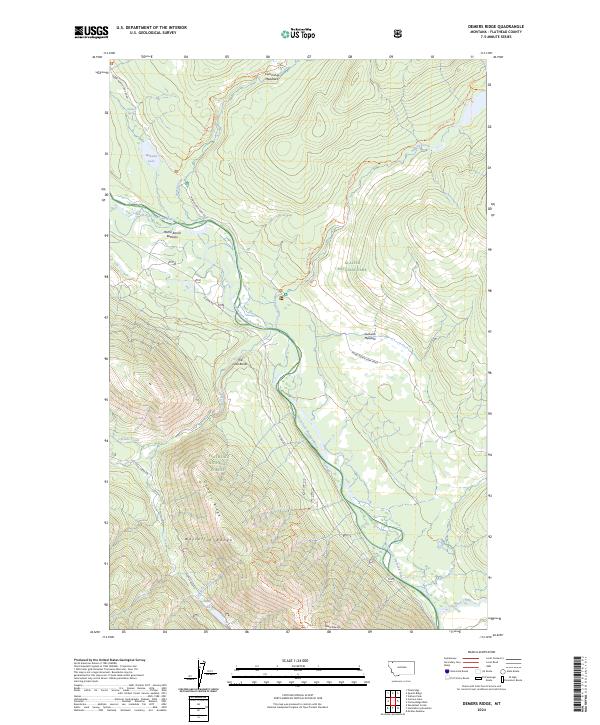
2024 Map of Demers Ridge
USGS Topo · Published 2024About this map
The North Fork Flathead River carves a significant corridor through this landscape, serving as the boundary between Glacier National Park and the Flathead National Forest. This protected river valley is characterized by broad alluvial features like Home Ranch Bottoms and Sullivan Meadow, where the terrain briefly levels out before rising sharply into the mountains. The presence of the Inside North Fork Road and the N Fork Rd on opposite banks illustrates the long-standing transportation network used to access these remote reaches of the Whitefish Range.
Find a feature on this map
32 named features on this map. Tap any name to fly to it.
Don’t see what you’re looking for? This feature index may not catch every label — zoom into the map to look around manually.
Map Details
Editions of this 2024 Demers Ridge Map
This is the sole edition of this map. No revisions or reprints were ever made.
Other maps of this area

1906 · Kintla Lakes
USGS Topo · 1:125,000

1938 · Kintla Lakes
USGS Topo · 1:125,000

1957 · Kalispell
USGS Topo · 1:250,000

1960 · Kalispell
USGS Topo · 1:250,000

1961 · Kalispell
USGS Topo · 1:250,000
1966 · Camas Ridge West
USGS Topo · 1:24,000
1966 · Demers Ridge
USGS Topo · 1:24,000
1966 · Huckleberry Mountain
USGS Topo · 1:24,000
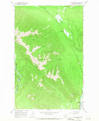
1966 · Mc Gee Meadow
USGS Topo · 1:24,000
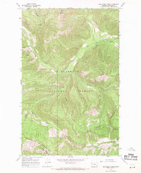
1966 · Skookoleel Creek
USGS Topo · 1:24,000