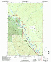
1994 Map of Demers Ridge
USGS Topo · Published 1997About this map
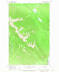
The North Fork Flathead River serves as a natural boundary through this landscape, dividing Glacier National Park to the east from the Flathead National Forest and Coal Creek State Forest to the west. This mid-1990s documentation reveals a highly managed wilderness environment where recreational access and conservation intersect. Named features like the Camas Creek Entrance and the Scenic Overlook near the Flathead Bottoms point to the area's development for public use, while the Patrol Cabin near Logging Lake suggests a continued presence of park oversight. To the west, the steep elevations of Winona Ridge and Demers Ridge dominate the terrain, carved by drainages such as Coal Creek and Cyclone Creek. The presence of the Home and Ranch Scenic River corridor highlights the specific land-use designations that protected the river's character during this era.
Find a feature on this map
63 named features on this map. Tap any name to fly to it.
Don’t see what you’re looking for? This feature index may not catch every label — zoom into the map to look around manually.
Map Details
Editions of this 1994 Demers Ridge Map
This is the sole edition of this map. No revisions or reprints were ever made.
Other maps of this area

1906 · Kintla Lakes
USGS Topo · 1:125,000

1938 · Kintla Lakes
USGS Topo · 1:125,000

1957 · Kalispell
USGS Topo · 1:250,000

1960 · Kalispell
USGS Topo · 1:250,000

1961 · Kalispell
USGS Topo · 1:250,000
1966 · Camas Ridge West
USGS Topo · 1:24,000
1966 · Demers Ridge
USGS Topo · 1:24,000
1966 · Huckleberry Mountain
USGS Topo · 1:24,000
1966 · Mc Gee Meadow
USGS Topo · 1:24,000
1966 · Skookoleel Creek
USGS Topo · 1:24,000