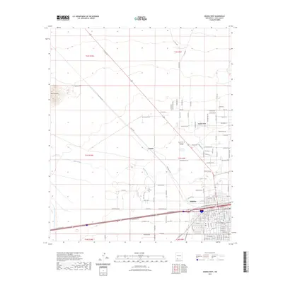
2023 Map of Deming West
USGS Topo · Published 2023About this map
The Mimbres River winds through the high desert landscape west of Deming, highlighting the critical role of water in this arid region of Luna County. In the southern portion of the map, the expanding footprint of the city is evident near the Luna County Judicial Complex, while the outskirts are dotted with established sites like Holy Cross Cem and Desert Lawn Memorial Gardens. The northern reaches transitions into more open range and agricultural activity at Keeler Farm, with the terrain rising sharply toward the distinct volcanic profile of Black Mountain. This survey illustrates the intricate grid of county roads and named trails, including Rifle Range Rd and Winchester Rd, which reflect the area's development and its reliance on a structured transportation network across the desert flats.
Find a feature on this map
113 named features on this map. Tap any name to fly to it.
Don’t see what you’re looking for? This feature index may not catch every label — zoom into the map to look around manually.
Map Details
Editions of this 2023 Deming West Map
This is the sole edition of this map. No revisions or reprints were ever made.
Other maps of this area

1899 · Deming
USGS Topo · 1:125,000

1915 · Deming
USGS Topo · 1:125,000

1955 · Las Cruces
USGS Topo · 1:250,000

1958 · Las Cruces
USGS Topo · 1:250,000

1964 · Goat Ridge
USGS Topo · 1:24,000
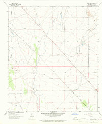
1964 · Spalding
USGS Topo · 1:24,000

1964 · Deming West
USGS Topo · 1:24,000

1964 · Massacre Peak
USGS Topo · 1:24,000
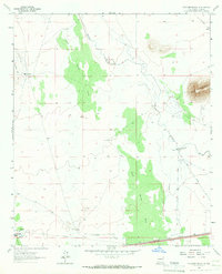
1964 · Williams Ranch
USGS Topo · 1:24,000

1965 · Deming East
USGS Topo · 1:24,000