
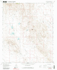
1964 Map of Massacre Peak
USGS Topo · Published 1967About this map
The historical corridor of the Butterfield Trail dominates this mid-1960s landscape, tracing a path through the arid terrain between Pony Hills and the Cooks Range. The map documents significant relics of New Mexico’s frontier history, most notably the Fort Cummings (Historical) Ruins and the adjacent Cooks Spring Station (Ruins) near the Cooks Spring. These sites represent critical waypoints for mid-19th-century travelers and military outposts protecting western migration routes.
Find a feature on this map
41 named features on this map. Tap any name to fly to it.
Don’t see what you’re looking for? This feature index may not catch every label — zoom into the map to look around manually.
Map Details
Editions of this 1964 Massacre Peak Map
2 editions found
Other maps of this area

1899 · Deming
USGS Topo · 1:125,000

1915 · Deming
USGS Topo · 1:125,000

1955 · Las Cruces
USGS Topo · 1:250,000

1956 · Dwyer
USGS Topo · 1:62,500

1958 · Las Cruces
USGS Topo · 1:250,000

1962 · Lake Valley
USGS Topo · 1:62,500

1964 · Goat Ridge
USGS Topo · 1:24,000

1964 · Florida
USGS Topo · 1:24,000

1964 · Deming West
USGS Topo · 1:24,000

1965 · Deming East
USGS Topo · 1:24,000