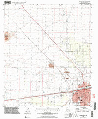
1996 Map of Deming West
USGS Topo · Published 2003About this map
The western edges of Deming anchor this high-desert landscape, where the town's grid expands toward the dry bed of the Mimbres River. This survey captures the critical infrastructure of a regional hub, featuring the intersection of the Southern Pacific and the Atchison Topeka and Santa Fe railroads. Industrial footprints are prominent west of the town center, most notably the Asarco Mill and its associated Tailings Pond, alongside the smaller settlement at Peruhill.
Find a feature on this map
56 named features on this map. Tap any name to fly to it.
Don’t see what you’re looking for? This feature index may not catch every label — zoom into the map to look around manually.
Map Details
Editions of this 1996 Deming West Map
This is the sole edition of this map. No revisions or reprints were ever made.
Other maps of this area

1899 · Deming
USGS Topo · 1:125,000

1915 · Deming
USGS Topo · 1:125,000

1955 · Las Cruces
USGS Topo · 1:250,000

1958 · Las Cruces
USGS Topo · 1:250,000

1964 · Goat Ridge
USGS Topo · 1:24,000
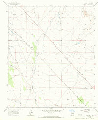
1964 · Spalding
USGS Topo · 1:24,000

1964 · Deming West
USGS Topo · 1:24,000

1964 · Massacre Peak
USGS Topo · 1:24,000
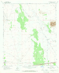
1964 · Williams Ranch
USGS Topo · 1:24,000

1965 · Deming East
USGS Topo · 1:24,000