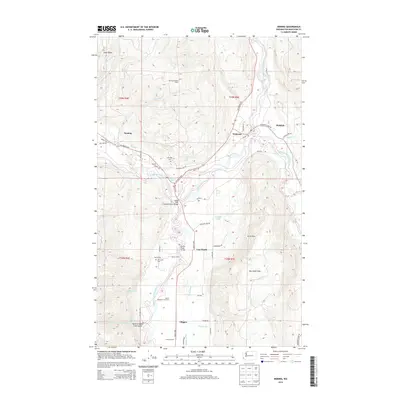
2014 Map of Deming
USGS Topo · Published 2014About this map
The Nooksack River system dominates this part of Whatcom County, where the north, middle, and south forks converge near several small agricultural and timber-linked settlements. The town of Deming sits near the confluence of the Mitchell Cr and the main river, while Van Zandt serves as a central point along the Valley Hwy. The landscape transitions from the river valley floors to significant high points, including Smith Peak and the prominent Van Zandt Dike to the east.
Find a feature on this map
54 named features on this map. Tap any name to fly to it.
Don’t see what you’re looking for? This feature index may not catch every label — zoom into the map to look around manually.
Map Details
Editions of this 2014 Deming Map
This is the sole edition of this map. No revisions or reprints were ever made.
Other maps of this area

1906 · Sumas
USGS Topo · 1:62,500

1908 · Sumas
USGS Topo · 1:62,500

1918 · Samish Lake
USGS Topo · 1:62,500

1919 · Van Zandt
USGS Topo · 1:62,500

1921 · Wickersham
USGS Topo · 1:62,500

1951 · Wickersham
USGS Topo · 1:62,500

1951 · Van Zandt
USGS Topo · 1:62,500

1952 · Lake Whatcom
USGS Topo · 1:24,000

1952 · Lawrence
USGS Topo · 1:24,000

1952 · Sumas
USGS Topo · 1:24,000