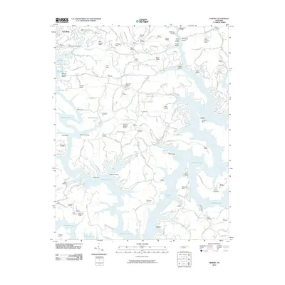
2010 Map of Demory
USGS Topo · Published 2010About this map
Big Ridge Lake and its intricate, finger-like inlets dominate this part of Campbell County, reflecting the transformation of the Tennessee landscape through mid-century water management. The terrain is a complex network of ridges and hollows, from Negro Ridge and Chestnut Stump Ridge to Stillhouse Hollow and Sweeten Spring Hollow. Along the shores of the Powell River, the map identifies numerous family burial sites, including the Baker Forge Memorial Cemetery, Stooksbury Cemetery, and Grantsboro Cemetery, which serve as vital markers for local genealogical research.
Find a feature on this map
138 named features on this map. Tap any name to fly to it.
Don’t see what you’re looking for? This feature index may not catch every label — zoom into the map to look around manually.
Map Details
Editions of this 2010 Demory Map
This is the sole edition of this map. No revisions or reprints were ever made.
Other maps of this area

1893 · Briceville
USGS Topo · 1:125,000

1895 · Briceville
USGS Topo · 1:125,000

1896 · Briceville
USGS Topo · 1:125,000

1897 · Maynardville
USGS Topo · 1:125,000

1900 · Maynardville
USGS Topo · 1:125,000

1935 · Well Spring
USGS Topo · 1:24,000

1936 · Gorryton
USGS Topo · 1:48,000

1936 · Ivydell
USGS Topo · 1:24,000

1936 · Jacksboro
USGS Topo · 1:24,000

1936 · White Hollow
USGS Topo · 1:24,000