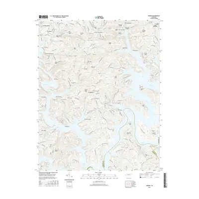
2016 Map of Demory
USGS Topo · Published 2016About this map
Norris Lake dominates the landscape south of La Follette, its intricate shoreline weaving around numerous ridges and hollows in this 2016 survey. The map records the complex geography of the Powell River valley where it meets the reservoir, highlighting peninsulas like Pellissippi Point and the Central Peninsula. Settlement patterns are defined by small communities such as Demory, Grantsboro, and Alder Springs, which are connected by a network of winding roads like Whitman Hollow Rd and S High Knob Rd.
Find a feature on this map
193 named features on this map. Tap any name to fly to it.
Don’t see what you’re looking for? This feature index may not catch every label — zoom into the map to look around manually.
Map Details
Editions of this 2016 Demory Map
This is the sole edition of this map. No revisions or reprints were ever made.
Other maps of this area

1893 · Briceville
USGS Topo · 1:125,000

1895 · Briceville
USGS Topo · 1:125,000

1896 · Briceville
USGS Topo · 1:125,000

1897 · Maynardville
USGS Topo · 1:125,000

1900 · Maynardville
USGS Topo · 1:125,000

1935 · Well Spring
USGS Topo · 1:24,000

1936 · Gorryton
USGS Topo · 1:48,000

1936 · Ivydell
USGS Topo · 1:24,000

1936 · Jacksboro
USGS Topo · 1:24,000

1936 · White Hollow
USGS Topo · 1:24,000