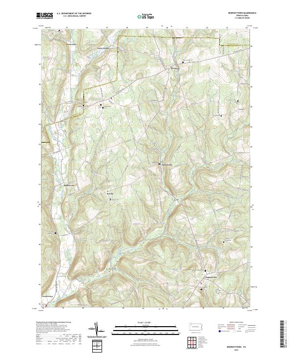
2023 Map of Dempseytown
USGS Topo · Published 2023About this map
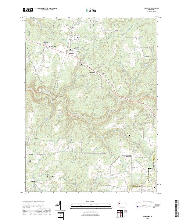
Dempseytown and its surrounding hamlets occupy a rolling landscape defined by the branching waters of Sugar Creek. This 2023 survey documents a deeply rooted rural community where historic intersections like Diamond, Sunville, and Wallaceville continue to anchor the road network across the Crawford and Venango county line. The map is particularly valuable for genealogical research, identifying numerous small family and community burial sites, such as the William Armstrong Burial Site and Old Alcorn Cem, often located away from the primary settlements. The drainage patterns of the West Branch Sugar Creek and Little Sugar Creek provide a framework for the local topography, while landmarks like Plum Church and the Dempseytown Lutheran Cem reflect the enduring religious and social foundations of these Pennsylvania townships.
Find a feature on this map
99 named features on this map. Tap any name to fly to it.
Don’t see what you’re looking for? This feature index may not catch every label — zoom into the map to look around manually.
Map Details
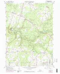
Editions of this 2023 Dempseytown Map
This is the sole edition of this map. No revisions or reprints were ever made.
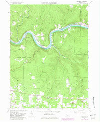
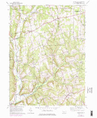
Historical Maps of Plum Corner Through Time
8 maps found
Featured Locations
- Oakland Township, PA
- Cherrytree Township, PA
- Randolph Township, PA
- Troy Township, PA
- Luces Corners, Troy Township