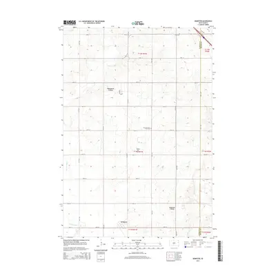
2015 Map of Dempster
USGS Topo · Published 2015About this map
The Coteau des Prairies plateau forms the foundation of this eastern South Dakota landscape, where the Big Sioux River flows along the western edge. The small settlement of Dempster is positioned near the southern boundary, reflecting the region's agricultural township structure. The map highlights distinct communal living arrangements through the presence of Claremont Colony and Poinsett Colony, which are situated amidst a dense grid of section-line roads like 463rd Ave and 187th St. Local heritage is anchored by significant religious and burial sites, including the Hamlin Reformed Church Cem and Bemis Cem, providing essential points of reference for genealogists. The eastern border transitions at the Hamlin Co Deuel Co line, while Hidewood Cr drains the undulating terrain of the coteau in the southeast.
Find a feature on this map
33 named features on this map. Tap any name to fly to it.
Don’t see what you’re looking for? This feature index may not catch every label — zoom into the map to look around manually.
Map Details
Editions of this 2015 Dempster Map
This is the sole edition of this map. No revisions or reprints were ever made.
Other maps of this area

1953 · Watertown
USGS Topo · 1:250,000

1958 · Watertown
USGS Topo · 1:250,000

1969 · Dempster
USGS Topo · 1:24,000

1969 · Castlewood
USGS Topo · 1:24,000

1969 · Watertown SE
USGS Topo · 1:24,000

1969 · Lake Poinsett
USGS Topo · 1:24,000

1970 · Kranzburg SW
USGS Topo · 1:24,000

1970 · Bemis
USGS Topo · 1:24,000

1970 · Estelline SE
USGS Topo · 1:24,000

1970 · Estelline
USGS Topo · 1:24,000
Featured Places
- Dempster, SD
- Poinsett Hutterite Colony, SD
- Estelline Township, SD
- Havana Township, SD
- Hamlin Township, SD