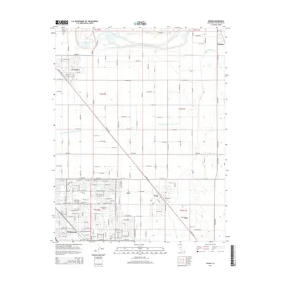
2015 Map of Denair
USGS Topo · Published 2015About this map
The Tuolumne River winds through the northern reaches of this Central Valley landscape, defining a corridor of agricultural productivity alongside the Ceres Main Canal and Turlock Main Canal. This 2015 survey illustrates the modern footprint of Turlock, where the campus of California State Univ - Stanislaus stands as a primary landmark in the southwest. The town of Denair sits at the junction of the BNSF Railway and Santa Fe Ave, serving as a central hub for the surrounding orchard and dairy lands.
Find a feature on this map
148 named features on this map. Tap any name to fly to it.
Don’t see what you’re looking for? This feature index may not catch every label — zoom into the map to look around manually.
Map Details
Editions of this 2015 Denair Map
This is the sole edition of this map. No revisions or reprints were ever made.
Other maps of this area

1915 · Paulsell
USGS Topo · 1:31,680

1916 · Mitchell School
USGS Topo · 1:31,680

1916 · Cressey
USGS Topo · 1:31,680

1916 · Montpellier
USGS Topo · 1:31,680

1916 · Riverbank
USGS Topo · 1:31,680

1916 · Denair
USGS Topo · 1:31,680

1916 · Waterford
USGS Topo · 1:31,680

1916 · Ceres
USGS Topo · 1:31,680

1917 · Turlock
USGS Topo · 1:31,680

1939 · Modesto East
USGS Topo · 1:62,500