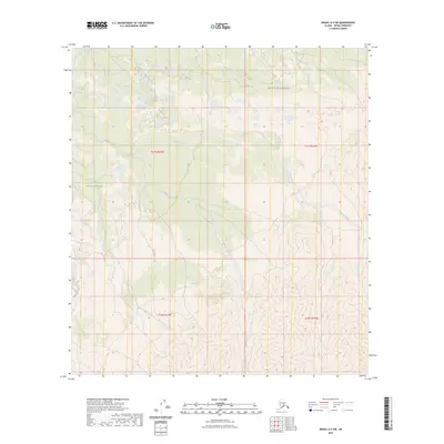
2023 Map of Denali A-4 SW
USGS Topo · Published 2023About this map
Denali National Park and the adjacent Denali Wilderness define this protected landscape in the Alaskan interior. This topographic study reveals a complex drainage system where Highpower Creek and Somber Creek flow through the northern reaches of the quadrangle. The elevation data emphasizes the transition from lower drainage basins to the higher, unnamed ridges that separate these water bodies. To the south, Barren Creek cuts through the high country, illustrating the water-carved geography characteristic of this subarctic region. The map provides a detailed view of these natural boundaries within the Public Land Survey System, specifically marking the divisions of t21s r23w and t21s r22w, where the terrain rises sharply from the creek beds to the peaks.
Find a feature on this map
9 named features on this map. Tap any name to fly to it.
Don’t see what you’re looking for? This feature index may not catch every label — zoom into the map to look around manually.
Map Details
Editions of this 2023 Denali A-4 SW Map
This is the sole edition of this map. No revisions or reprints were ever made.
Other maps of this area

1950 · Talkeetna
USGS Topo · 1:250,000

1951 · Talkeetna
USGS Topo · 1:250,000

1952 · Mount McKinley
USGS Topo · 1:250,000

1952 · Mount McKinley A-5
USGS Topo · 1:63,360

1953 · Mount McKinley A-4
USGS Topo · 1:63,360

1954 · Mount McKinley A-4
USGS Topo · 1:63,360

1954 · Mount McKinley A-5
USGS Topo · 1:63,360

1958 · Talkeetna D-5
USGS Topo · 1:63,360

1958 · Talkeetna D-4
USGS Topo · 1:63,360

1958 · Talkeetna
USGS Topo · 1:250,000