
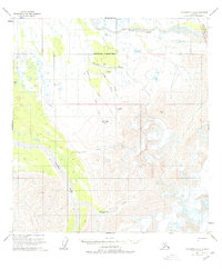
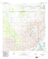
1958 Map of Talkeetna D-5
USGS Topo · Published 1963About this map
Mt McKinley National Park occupies the northeastern corner of this remote Alaskan interior, where glacial drainages and sharp summits dictate the terrain. The northern reaches are dominated by the Swift Fork Kuskokwim River, while the Tonzona River carves a deep valley to the southwest. Human presence is sparse and strictly functional, represented by a lone Mine and a Landing Strip tucked near Boulder Creek. Transportation in this era relied on a specific Tractor Trail that navigated the landscape between Canyon Creek and the Camp Basin. The map captures a transitional wilderness where wildlife-named landmarks like Brown Bear Basin and Heart Mtn define the geography more than any permanent settlement, highlighting the isolation of the Alaska Range's northern foothills during the mid-century period.
Find a feature on this map
17 named features on this map. Tap any name to fly to it.
Don’t see what you’re looking for? This feature index may not catch every label — zoom into the map to look around manually.
Map Details
Editions of this 1958 Talkeetna D-5 Map
3 editions found
Other maps of this area

1950 · Talkeetna
USGS Topo · 1:250,000

1951 · Talkeetna
USGS Topo · 1:250,000

1952 · Mount McKinley
USGS Topo · 1:250,000

1952 · Mount McKinley A-5
USGS Topo · 1:63,360

1953 · Mount McKinley A-4
USGS Topo · 1:63,360

1954 · Mount McKinley A-4
USGS Topo · 1:63,360

1954 · Mount McKinley A-5
USGS Topo · 1:63,360

1958 · Talkeetna D-6
USGS Topo · 1:63,360

1958 · Talkeetna C-6
USGS Topo · 1:63,360

1958 · Talkeetna C-4
USGS Topo · 1:63,360