
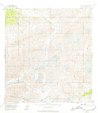
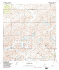
1958 Map of Talkeetna C-6
USGS Topo · Published 1962About this map
Glacial movement and high-altitude topography dominate this late 1950s survey of the Alaska Range. The southern extent is anchored by the northern peaks of the Kichatna Mountains, where the landscape is carved by the Dillinger River and the braided headwaters of the Yentna River. High mountain corridors such as Shellabarger Pass and Mystic Pass provide the only navigable breaks in the steep terrain, serving as vital landmarks for early bush pilots and explorers.
Find a feature on this map
10 named features on this map. Tap any name to fly to it.
Don’t see what you’re looking for? This feature index may not catch every label — zoom into the map to look around manually.
Map Details
Editions of this 1958 Talkeetna C-6 Map
3 editions found
Other maps of this area

1949 · McGrath
USGS Topo · 1:250,000

1950 · McGrath
USGS Topo · 1:250,000

1950 · Talkeetna
USGS Topo · 1:250,000

1951 · Talkeetna
USGS Topo · 1:250,000

1958 · Talkeetna D-6
USGS Topo · 1:63,360

1958 · Talkeetna B-5
USGS Topo · 1:63,360

1958 · Talkeetna B-6
USGS Topo · 1:63,360

1958 · McGrath B-1
USGS Topo · 1:63,360

1958 · Talkeetna D-5
USGS Topo · 1:63,360

1958 · McGrath C-1
USGS Topo · 1:63,360