
1958 Map of Talkeetna B-5
USGS Topo · Published 1962About this map
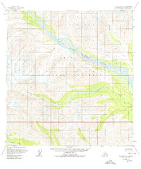
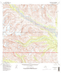
Glacial river valleys and high alpine terrain dominate this mid-century survey of the Alaska interior. The West Fork Yentna River carves a broad path through the center of the sheet, joined by smaller tributaries like Cascade Creek and Fourth of July Creek. Human presence is minimal in this wilderness, represented only by a lone Cabin located along the northern reaches of the Yentna. To the south, the Kichatna River and Nakochua River flow through deep, steep-walled valleys. The map illustrates a landscape shaped by water and ice, where the braided river systems provide the primary natural corridors through the high mountains. This edition was compiled from aerial photography taken between 1952 and 1957, capturing the region's topography before significant modern developments or changes in glacial extent.
Find a feature on this map
6 named features on this map. Tap any name to fly to it.
Don’t see what you’re looking for? This feature index may not catch every label — zoom into the map to look around manually.
Map Details
Editions of this 1958 Talkeetna B-5 Map
3 editions found
Other maps of this area

1950 · Talkeetna
USGS Topo · 1:250,000

1951 · Talkeetna
USGS Topo · 1:250,000

1954 · Talkeetna B-4
USGS Topo · 1:63,360

1954 · Talkeetna A-4
USGS Topo · 1:63,360

1958 · Talkeetna A-6
USGS Topo · 1:63,360

1958 · Talkeetna A-5
USGS Topo · 1:63,360

1958 · Talkeetna B-6
USGS Topo · 1:63,360

1958 · Talkeetna C-6
USGS Topo · 1:63,360

1958 · Talkeetna C-4
USGS Topo · 1:63,360

1958 · Talkeetna C-5
USGS Topo · 1:63,360