
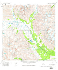
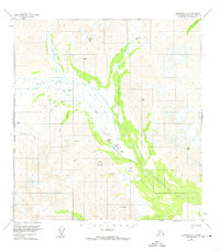
1958 Map of Talkeetna A-6
USGS Topo · Published 1961About this map
The Old Iditarod Trail cuts across this high-altitude landscape, following the course of the Happy River as it winds through the southern foothills of the Alaska Range. This 1958 field-annotated survey captures the infrastructure of the wilderness at the end of the territorial era, centered on the Rainy Pass Lodge near Puntilla Lake. The area is a critical junction for travel, where the Winter Trail diverges toward Lookout Hill. Peaks such as Kohlsaat Peak and Puntilla Mountain define the drainage basins of the West Fork Indian Creek and East Fork Indian Creek. The presence of Radio Towers and a remote Cabin near Moose Creek Lake highlights the limited but vital human footprint maintained for communication and shelter in this remote interior corridor.
Find a feature on this map
21 named features on this map. Tap any name to fly to it.
Don’t see what you’re looking for? This feature index may not catch every label — zoom into the map to look around manually.
Map Details
Editions of this 1958 Talkeetna A-6 Map
3 editions found
Other maps of this area

1949 · Tyonek
USGS Topo · 1:250,000

1949 · McGrath
USGS Topo · 1:250,000

1950 · McGrath
USGS Topo · 1:250,000

1950 · Talkeetna
USGS Topo · 1:250,000

1951 · Talkeetna
USGS Topo · 1:250,000

1951 · Tyonek
USGS Topo · 1:250,000

1951 · Lime Hills
USGS Topo · 1:250,000

1958 · Talkeetna A-5
USGS Topo · 1:63,360

1958 · Talkeetna B-5
USGS Topo · 1:63,360

1958 · Talkeetna B-6
USGS Topo · 1:63,360