
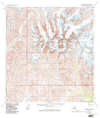
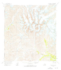
1958 Map of Talkeetna B-6
USGS Topo · Published 1962About this map
The Cathedral Spires dominate this 1950s landscape, rising as sharp granite peaks within the greater Kichatna Mountains. This survey, compiled from 1957 aerial photography, reveals a glaciated wilderness defined by the massive ice of Caldwell Glacier and Fleischmann Glacier. The drainage patterns are clearly established by the Kichatna River and Tatina River, which carve deep valleys through the high-altitude terrain. Notable summits such as Augustin Peak, Gurney Peak, and Lewis Peak provide critical reference points for navigation in a region without established roads or trails. The map also documents the remote Simpson Pass and the headwaters of the Earl River, offering a precise view of this Alaskan interior before modern environmental changes altered the extent of its alpine glaciers.
Find a feature on this map
13 named features on this map. Tap any name to fly to it.
Don’t see what you’re looking for? This feature index may not catch every label — zoom into the map to look around manually.
Map Details
Editions of this 1958 Talkeetna B-6 Map
3 editions found
Other maps of this area

1949 · McGrath
USGS Topo · 1:250,000

1950 · McGrath
USGS Topo · 1:250,000

1950 · Talkeetna
USGS Topo · 1:250,000

1951 · Talkeetna
USGS Topo · 1:250,000

1958 · Talkeetna A-6
USGS Topo · 1:63,360

1958 · Talkeetna A-5
USGS Topo · 1:63,360

1958 · Talkeetna B-5
USGS Topo · 1:63,360

1958 · Talkeetna C-6
USGS Topo · 1:63,360

1958 · McGrath B-1
USGS Topo · 1:63,360

1958 · McGrath A-1
USGS Topo · 1:63,360