
1958 Map of Talkeetna A-5
USGS Topo · Published 1962About this map
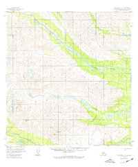
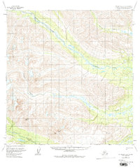
The Old Iditarod Trail traverses the southern edge of this landscape, following the course of the Happy River as it cuts through the high country of the Matanuska-Susitna region. This historic route is paired with a designated (Winter Trail), illustrating the seasonal transportation challenges inherent to the Alaskan interior during the mid-20th century. The terrain is dominated by significant elevations such as Columbia Peak, McDoel Peak, and the survey point VABM 3862 Wolverine. Major drainage systems like the braided Kichatna River and Johnson Creek define the low-lying valleys between these summits. The map captures a wilderness environment where travel was dictated by river corridors and established sled dog or pack trails, long before modern road infrastructure reached into these remote sections of the Seward Meridian.
Find a feature on this map
9 named features on this map. Tap any name to fly to it.
Don’t see what you’re looking for? This feature index may not catch every label — zoom into the map to look around manually.
Map Details
Editions of this 1958 Talkeetna A-5 Map
3 editions found
Other maps of this area

1949 · Tyonek
USGS Topo · 1:250,000

1950 · Talkeetna
USGS Topo · 1:250,000

1951 · Talkeetna
USGS Topo · 1:250,000

1951 · Tyonek
USGS Topo · 1:250,000

1954 · Talkeetna B-4
USGS Topo · 1:63,360

1954 · Talkeetna A-4
USGS Topo · 1:63,360

1958 · Talkeetna A-6
USGS Topo · 1:63,360

1958 · Tyonek D-6
USGS Topo · 1:63,360

1958 · Talkeetna B-5
USGS Topo · 1:63,360

1958 · Talkeetna B-6
USGS Topo · 1:63,360