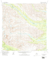
1958 Map of Talkeetna A-5
USGS Topo · Published 1977About this map
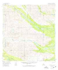
The Old Iditarod Trail (Winter Trail) cuts across the southwestern corner of this wilderness expanse, providing a historical trace of early Alaskan transportation before the era of modern aviation and highways. This section of the Matanuska-Susitna region is defined by the broad, braided course of the Kichatna River, which flows southeast across the map, joined by the Nakochna River in the northeast. The topography is dominated by high summits such as Columbia Peak and Mc Doel Peak, alongside geodetic survey markers like Hap VABM 5111 and Wolverine VABM 3862. The drainage network, including Johnson Creek and the Happy River, illustrates the complex glacial and fluvial patterns of the Alaska Range foothills during the late 1950s.
Find a feature on this map
10 named features on this map. Tap any name to fly to it.
Don’t see what you’re looking for? This feature index may not catch every label — zoom into the map to look around manually.
Map Details
Editions of this 1958 Talkeetna A-5 Map
3 editions found
Other maps of this area

1949 · Tyonek
USGS Topo · 1:250,000

1950 · Talkeetna
USGS Topo · 1:250,000

1951 · Talkeetna
USGS Topo · 1:250,000

1951 · Tyonek
USGS Topo · 1:250,000

1954 · Talkeetna B-4
USGS Topo · 1:63,360

1954 · Talkeetna A-4
USGS Topo · 1:63,360

1958 · Talkeetna A-6
USGS Topo · 1:63,360

1958 · Tyonek D-6
USGS Topo · 1:63,360

1958 · Talkeetna A-5
USGS Topo · 1:63,360

1958 · Talkeetna B-5
USGS Topo · 1:63,360