
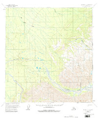
1958 Map of McGrath C-1
USGS Topo · Published 1964About this map
The Big Salmon River and its tributaries carve a complex drainage system through this interior Alaskan wilderness as it appeared in the late 1950s. The landscape is defined by the convergence of major glacial-fed water systems, including the wide paths of the Dillinger River and the Jones River. While much of the terrain is dominated by these waterways and high peaks, a single Tractor Trail provides a physical record of mid-century overland access through the region. This 1958 field-annotated study reveals the intricate braided channels and floodplains of the Deepbank Creek watershed, illustrating the dynamic nature of Alaskan river morphology before modern development.
Find a feature on this map
5 named features on this map. Tap any name to fly to it.
Don’t see what you’re looking for? This feature index may not catch every label — zoom into the map to look around manually.
Map Details
Editions of this 1958 McGrath C-1 Map
2 editions found
Other maps of this area

1949 · McGrath
USGS Topo · 1:250,000

1950 · McGrath
USGS Topo · 1:250,000

1950 · Talkeetna
USGS Topo · 1:250,000

1951 · Talkeetna
USGS Topo · 1:250,000

1958 · Talkeetna D-6
USGS Topo · 1:63,360

1958 · Talkeetna B-6
USGS Topo · 1:63,360

1958 · Talkeetna C-6
USGS Topo · 1:63,360

1958 · McGrath B-1
USGS Topo · 1:63,360

1958 · McGrath B-2
USGS Topo · 1:63,360

1958 · McGrath D-2
USGS Topo · 1:63,360