
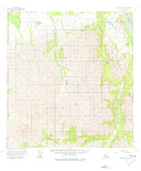
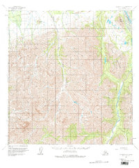
1958 Map of McGrath B-2
USGS Topo · Published 1963About this map
Farewell Airport serves as a critical point of access in this remote Interior Alaska landscape, where aviation often provides the primary connection to the outside world. The drainage of the S Fk Kuskokwim R dominates the eastern edge, joined by the Post River as it winds through the Terra Cotta Mountains. These peaks and the prominent Tunis Mountain form a dramatic relief against the low-lying wetlands and lakes. Notable water bodies such as Veleska Lake, Charlie Lake, and Smith Lake are scattered across the terrain, serving as landmarks for travelers and bush pilots. Surveying markers like VABM St Johns 2780 on St Johns Hill and VABM Fare 4658 indicate the high-altitude control points established during this mid-century topographic effort. The map reflects a period of systematic mapping of the Alaskan wilderness, documenting the essential waterways like Sheep Creek and Tin Creek that carve through the valley floors.
Find a feature on this map
15 named features on this map. Tap any name to fly to it.
Don’t see what you’re looking for? This feature index may not catch every label — zoom into the map to look around manually.
Map Details
Editions of this 1958 McGrath B-2 Map
3 editions found
Other maps of this area

1949 · McGrath
USGS Topo · 1:250,000

1950 · McGrath
USGS Topo · 1:250,000

1954 · McGrath C-3
USGS Topo · 1:63,360

1958 · McGrath B-1
USGS Topo · 1:63,360

1958 · McGrath A-2
USGS Topo · 1:63,360

1958 · McGrath A-1
USGS Topo · 1:63,360

1958 · McGrath C-1
USGS Topo · 1:63,360

1958 · McGrath A-3
USGS Topo · 1:63,360

1958 · McGrath C-2
USGS Topo · 1:63,360
1958 · McGrath B-3
USGS Topo · 1:63,360