
1958 Map of McGrath A-2
USGS Topo · Published 1963About this map
The Terra Cotta Mountains dominate the interior of this region, which was mapped via photogrammetric methods from aerial photography in the mid-1950s. The landscape is defined by the significant waterway of the Post River, which winds through the eastern portion of the sheet near Post Lake. Along its course, isolated Cabins indicate the sparse human presence and remote nature of the terrain during this era. To the southwest, the headwaters of the South Fork Middle Fork Kuskokwim River cut through the high elevations, illustrating the complex drainage patterns of the Kuskokwim basin. This 1958 field-annotated study reveals a wilderness environment where landmarks are primarily geological and hydrological rather than industrial.
Find a feature on this map
5 named features on this map. Tap any name to fly to it.
Don’t see what you’re looking for? This feature index may not catch every label — zoom into the map to look around manually.
Map Details
Editions of this 1958 McGrath A-2 Map
2 editions found
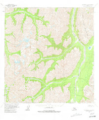
Other maps of this area

1949 · McGrath
USGS Topo · 1:250,000

1950 · McGrath
USGS Topo · 1:250,000

1951 · Lime Hills
USGS Topo · 1:250,000

1958 · McGrath B-1
USGS Topo · 1:63,360

1958 · McGrath A-1
USGS Topo · 1:63,360

1958 · McGrath B-2
USGS Topo · 1:63,360

1958 · McGrath A-3
USGS Topo · 1:63,360
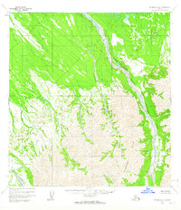
1958 · McGrath B-3
USGS Topo · 1:63,360

1958 · Lime Hills D-3
USGS Topo · 1:63,360
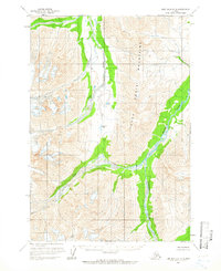
1958 · Lime Hills D-2
USGS Topo · 1:63,360