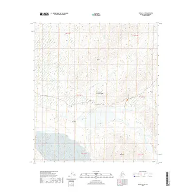
2019 Map of Denali B-1 NW
USGS Topo · Published 2019About this map
Denali National Park is defined here by the confluence of powerful glacial rivers and high mountain peaks. The landscape is dominated by the broad, braided channels of the McKinley River and Thorofare River, which carve through the terrain south of Mt Galen. This 2019 survey captures the modern infrastructure within the park, specifically the path of Park Road as it winds through Thorofare Pass toward the heights of Mt Eielson. Local history and recreational access are highlighted by the presence of the Eielson Alpine Trail and the Old Gorge Creek Trail, providing a clear look at how visitors navigate the backcountry. Notable geological landmarks like The Notch and numerous tributaries such as Gorge Creek and Sunrise Creek illustrate the complex drainage patterns characteristic of the Alaska Range.
Find a feature on this map
26 named features on this map. Tap any name to fly to it.
Don’t see what you’re looking for? This feature index may not catch every label — zoom into the map to look around manually.
Map Details
Editions of this 2019 Denali B-1 NW Map
This is the sole edition of this map. No revisions or reprints were ever made.
Other maps of this area

1952 · Mount McKinley
USGS Topo · 1:250,000

1952 · Mount McKinley B-2
USGS Topo · 1:63,360

1952 · Mount McKinley B-1
USGS Topo · 1:63,360

1952 · Mount McKinley C-1
USGS Topo · 1:63,360

1952 · Mount McKinley C-2
USGS Topo · 1:63,360

1954 · Mount McKinley C-1
USGS Topo · 1:63,360

1954 · Mount McKinley B-1
USGS Topo · 1:63,360

1954 · Mount McKinley B-2
USGS Topo · 1:63,360

1954 · Mount McKinley C-2
USGS Topo · 1:63,360

1958 · Mount McKinley
USGS Topo · 1:250,000