
1954 Map of Mount McKinley C-1
USGS Topo · Published 1963About this map
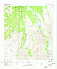
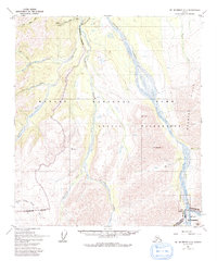
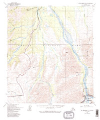
Stampede Antimony Mine and its associated Stampede Landing Strip anchor the northern reaches of this mid-century survey, illustrating the logistical requirements of subarctic resource extraction. The interior landscape is defined by the braided channels of the Toklat River and Stony Creek, which carve through terrain marked by peaks like Mt Sheldon and Divide Mtn. In the south, the Denali Highway provides a thin thread of access near the settlement of Toklat, passing through the Mt McKinley National Park Boundary. The drainage patterns of the Clearwater Fork Stony Creek and North Fork Moose Creek reflect a highly dynamic hydrologic environment where glacial runoff and shifting gravel bars dictate the topography of the park's eastern corridors.
Find a feature on this map
22 named features on this map. Tap any name to fly to it.
Don’t see what you’re looking for? This feature index may not catch every label — zoom into the map to look around manually.
Map Details
Editions of this 1954 Mount McKinley C-1 Map
4 editions found
Other maps of this area

1951 · Healy
USGS Topo · 1:250,000

1951 · Mount McKinley D-1
USGS Topo · 1:63,360

1951 · Healy D-6
USGS Topo · 1:63,360

1952 · Mount McKinley
USGS Topo · 1:250,000

1952 · Mount McKinley B-2
USGS Topo · 1:63,360

1952 · Mount McKinley B-1
USGS Topo · 1:63,360

1952 · Mount McKinley C-1
USGS Topo · 1:63,360

1952 · Mount McKinley C-2
USGS Topo · 1:63,360

1954 · Healy C-6
USGS Topo · 1:63,360

1954 · Mount McKinley D-2
USGS Topo · 1:63,360