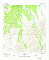
1954 Map of Mount McKinley C-1
USGS Topo · Published 1976About this map
The Stampede Antimony Mine stands as a focal point of industrial activity in this mid-century survey of the northern interior. This resource extraction site is supported by the nearby Stampede Landing Strip, illustrating the importance of aviation for remote Alaskans during this era. The terrain is defined by the braided channels of the Toklat River and the prominent Wyoming Hills that dominate the eastern portion of the quadrangle. As the National Park Boundary cuts across the landscape, the transition from mining country to protected land is marked by recreational features like the Toklat Campground and the Mc Kinley Park Rd. The map provides specific elevation data through benchmarks such as Vabm 4586 Tokat and prominent peaks like Mt Sheldon, offering a detailed look at the drainage systems of Stony Creek and the Clearwater Fork.
Find a feature on this map
26 named features on this map. Tap any name to fly to it.
Don’t see what you’re looking for? This feature index may not catch every label — zoom into the map to look around manually.
Map Details
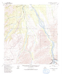
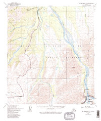
Editions of this 1954 Mount McKinley C-1 Map
4 editions found

Other maps of this area

1951 · Healy
USGS Topo · 1:250,000

1951 · Mount McKinley D-1
USGS Topo · 1:63,360

1951 · Healy D-6
USGS Topo · 1:63,360

1952 · Mount McKinley
USGS Topo · 1:250,000

1952 · Mount McKinley B-2
USGS Topo · 1:63,360

1952 · Mount McKinley B-1
USGS Topo · 1:63,360

1952 · Mount McKinley C-1
USGS Topo · 1:63,360

1952 · Mount McKinley C-2
USGS Topo · 1:63,360

1954 · Healy C-6
USGS Topo · 1:63,360

1954 · Mount McKinley D-2
USGS Topo · 1:63,360