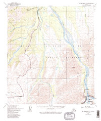
1954 Map of Mount McKinley C-1
USGS Topo · Published 1993About this map
The Stampede Antimony Mine stands as a focal point of industrial activity in this mid-century subarctic interior, connected to the wider world by the Stampede Trail and the nearby Stampede Landing Strip. The landscape is dominated by the braided channels of the Toklat River and the winding course of Stony Creek, which carve through the Wyoming Hills. This survey reflects the region's character during the transition into protected status, showing the Wilderness Boundary overlaying a terrain of high peaks like Mt Sheldon and Divide Mtn. Notable for its drainage patterns, the map traces numerous tributaries such as Moonlight Creek and Clearwater Fork, alongside the simple infrastructure of the Toklat Campground.
Find a feature on this map
27 named features on this map. Tap any name to fly to it.
Don’t see what you’re looking for? This feature index may not catch every label — zoom into the map to look around manually.
Map Details
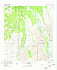
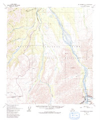
Editions of this 1954 Mount McKinley C-1 Map
4 editions found

Other maps of this area

1951 · Healy
USGS Topo · 1:250,000

1951 · Mount McKinley D-1
USGS Topo · 1:63,360

1951 · Healy D-6
USGS Topo · 1:63,360

1952 · Mount McKinley
USGS Topo · 1:250,000

1952 · Mount McKinley B-2
USGS Topo · 1:63,360

1952 · Mount McKinley B-1
USGS Topo · 1:63,360

1952 · Mount McKinley C-1
USGS Topo · 1:63,360

1952 · Mount McKinley C-2
USGS Topo · 1:63,360

1954 · Healy C-6
USGS Topo · 1:63,360

1954 · Mount McKinley D-2
USGS Topo · 1:63,360