
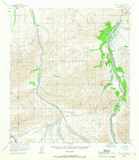
1954 Map of Healy C-6
USGS Topo · Published 1958About this map
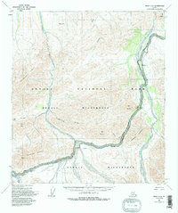
Mt Mc Kinley National Park dominates this mid-1950s interior Alaskan landscape, showing the early infrastructure of the wilderness preserve. The Denali Highway snakes through the southern portion of the quadrangle, crossing significant topographical barriers at Polychrome Pass and Sable Pass. This transportation artery connects the drainage basins of the Toklat River and the Teklanika River, which carve braided channels across the terrain.
Find a feature on this map
19 named features on this map. Tap any name to fly to it.
Don’t see what you’re looking for? This feature index may not catch every label — zoom into the map to look around manually.
Map Details
Editions of this 1954 Healy C-6 Map
6 editions found
Other maps of this area

1950 · Healy B-5
USGS Topo · 1:63,360

1951 · Healy
USGS Topo · 1:250,000

1951 · Healy B-5
USGS Topo · 1:63,360

1951 · Mount McKinley D-1
USGS Topo · 1:63,360

1951 · Healy D-6
USGS Topo · 1:63,360

1951 · Healy D-5
USGS Topo · 1:63,360

1952 · Healy D-5
USGS Topo · 1:63,360

1952 · Healy C-5
USGS Topo · 1:63,360

1952 · Mount McKinley
USGS Topo · 1:250,000

1952 · Mount McKinley B-1
USGS Topo · 1:63,360