
1951 Map of Healy D-5
USGS Topo · Published 1963About this map
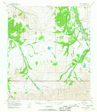
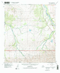
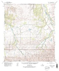
The northern boundary of Mt McKinley National Park defines the southern half of this landscape, where the rugged topography of the Alaska Range meets the industrial corridors of the interior. The settlement of Lignite serves as a focal point along the Alaska Railroad, situated near the confluence of several glacial streams and the Nenana River. This region illustrates the intersection of conservation and resource extraction during the mid-20th century, notably marked by the Diamond Coal Mine near Otto Lake. To the west, the wilderness character prevails with the Teklanika River and Savage River cutting through high ridges. Interior landmarks like the Ranger Cabin on Sunday Creek and various landing strips and tramways highlight the specialized transport required to navigate this terrain before modern road development reached deep into the territory.
Find a feature on this map
28 named features on this map. Tap any name to fly to it.
Don’t see what you’re looking for? This feature index may not catch every label — zoom into the map to look around manually.
Map Details
Editions of this 1951 Healy D-5 Map
4 editions found
Other maps of this area

1950 · Fairbanks
USGS Topo · 1:250,000

1950 · Fairbanks A-5
USGS Topo · 1:63,360

1950 · Healy D-4
USGS Topo · 1:63,360

1950 · Healy C-4
USGS Topo · 1:63,360

1950 · Fairbanks A-4
USGS Topo · 1:63,360

1951 · Healy
USGS Topo · 1:250,000

1951 · Fairbanks
USGS Topo · 1:250,000

1951 · Fairbanks A-5
USGS Topo · 1:63,360

1951 · Healy D-6
USGS Topo · 1:63,360
1952 · Fairbanks A-4
USGS Topo · 1:63,360