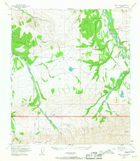
1951 Map of Healy D-5
USGS Topo · Published 1967About this map
Lignite and the nearby Diamond Coal Mine serve as industrial anchors in this subarctic corridor during the early 1950s, where the Alaska Railroad follows the path of the Nenana River. The map reveals a transition from industrial activity to protected wilderness, as the southern portion enters Mt McKinley National Park. Along the Savage River, a Ranger Cabin and various survey points like VABM 3266 Savage mark human presence within the expansive park boundaries. The terrain is defined by dramatic elevation changes, rising from the river valleys to Mt Healy and Primrose Ridge. Water sources such as Otto Lake and Eightmile Lake dot the landscape between drainages like Panguingue Creek and Slate Creek, illustrating the complex hydrology of this interior Alaska region.
Find a feature on this map
26 named features on this map. Tap any name to fly to it.
Don’t see what you’re looking for? This feature index may not catch every label — zoom into the map to look around manually.
Map Details
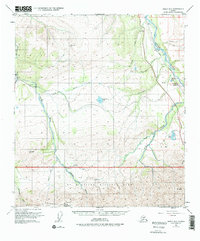
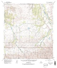
Editions of this 1951 Healy D-5 Map
4 editions found
Other maps of this area

1950 · Fairbanks
USGS Topo · 1:250,000

1950 · Fairbanks A-5
USGS Topo · 1:63,360

1950 · Healy D-4
USGS Topo · 1:63,360

1950 · Healy C-4
USGS Topo · 1:63,360

1950 · Fairbanks A-4
USGS Topo · 1:63,360

1951 · Healy
USGS Topo · 1:250,000

1951 · Fairbanks
USGS Topo · 1:250,000

1951 · Fairbanks A-5
USGS Topo · 1:63,360

1951 · Healy D-6
USGS Topo · 1:63,360

1951 · Healy D-5
USGS Topo · 1:63,360