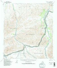
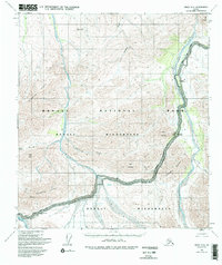
1954 Map of Healy C-6
USGS Topo · Published 1996About this map
The Denali National Park interior is captured here as it was surveyed in the early 1950s, centered on the high mountain passes and braided river valleys that dictate travel through the Denali Wilderness. The Denali Park Road winds its way across the southern half of the sheet, providing the primary corridor through the high-altitude terrain. Notable navigation points for early travelers and backcountry explorers include the Ranger Cabin near the Teklanika River and established resting spots at the Teklanika Campground and Igloo Creek Campground.
Find a feature on this map
23 named features on this map. Tap any name to fly to it.
Don’t see what you’re looking for? This feature index may not catch every label — zoom into the map to look around manually.
Map Details
Editions of this 1954 Healy C-6 Map
6 editions found

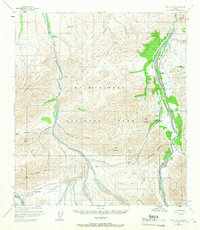
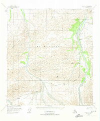
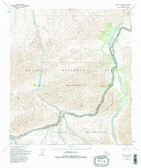
Other maps of this area

1950 · Healy B-5
USGS Topo · 1:63,360

1951 · Healy
USGS Topo · 1:250,000

1951 · Healy B-5
USGS Topo · 1:63,360

1951 · Mount McKinley D-1
USGS Topo · 1:63,360

1951 · Healy D-6
USGS Topo · 1:63,360

1951 · Healy D-5
USGS Topo · 1:63,360

1952 · Healy D-5
USGS Topo · 1:63,360

1952 · Healy C-5
USGS Topo · 1:63,360

1952 · Mount McKinley
USGS Topo · 1:250,000

1952 · Mount McKinley B-1
USGS Topo · 1:63,360