
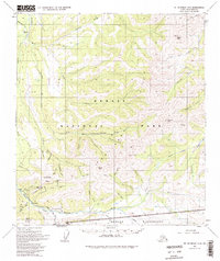
1954 Map of Mount McKinley C-2
USGS Topo · Published 1969About this map
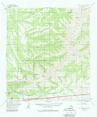
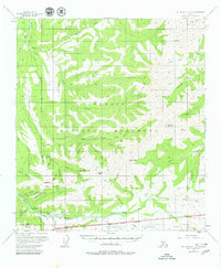
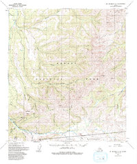
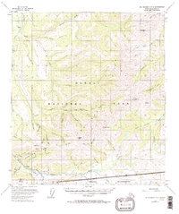
Kantishna and the surrounding mining district appear in detail during the mid-1950s, highlighting a landscape defined by gold extraction and wilderness transit. Multiple Placer Mines dot the drainages of Glacier Creek and Caribou Creek, while a Tractor Trail and Jeep Trail provide the primary links between working sites and small outposts like Busia. The transition from industrial activity to protected wilderness is marked by the Mt McKinley National Park Boundary, which cuts across the southern portion of the map near Camp Denali. Prominent summits including Wickersham Dome and Kankone Peak loom over the drainage basins of the Bearpaw River and Moose Creek, illustrating the difficult terrain encountered by mid-century prospectors and early park rangers.
Find a feature on this map
54 named features on this map. Tap any name to fly to it.
Don’t see what you’re looking for? This feature index may not catch every label — zoom into the map to look around manually.
Map Details
Editions of this 1954 Mount McKinley C-2 Map
6 editions found
Other maps of this area

1951 · Mount McKinley D-1
USGS Topo · 1:63,360

1952 · Mount McKinley
USGS Topo · 1:250,000

1952 · Mount McKinley B-2
USGS Topo · 1:63,360

1952 · Mount McKinley C-3
USGS Topo · 1:63,360

1952 · Mount McKinley B-1
USGS Topo · 1:63,360

1952 · Mount McKinley C-1
USGS Topo · 1:63,360

1952 · Mount McKinley C-2
USGS Topo · 1:63,360

1952 · Mount McKinley D-3
USGS Topo · 1:63,360

1953 · Mount McKinley B-3
USGS Topo · 1:63,360

1954 · Mount McKinley D-2
USGS Topo · 1:63,360