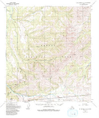
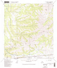
1954 Map of Mount McKinley C-2
USGS Topo · Published 1994About this map
Kantishna and the surrounding mining claims anchor this mid-century survey of the interior wilderness, a landscape defined by its extractive history and the boundaries of Denali National Park. The map details the complex drainage systems of Moose Creek and the Bearpaw River, where early 20th-century gold prospecting left its mark via several Placer Mines and the Red Top Mine. High-elevation landmarks like Wickersham Dome and Quigley Ridge overlook a network of seasonal access routes, including a prominent Winter Trail in the northwest. This era of the park's history is further evidenced by the location of Camp Denali and a remote Landing Strip, illustrating the limited but critical infrastructure serving researchers and mountaineers in the shadow of Glacier Peak and Kankone Peak before modern expansion.
Find a feature on this map
43 named features on this map. Tap any name to fly to it.
Don’t see what you’re looking for? This feature index may not catch every label — zoom into the map to look around manually.
Map Details
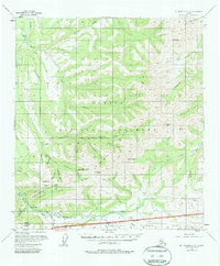
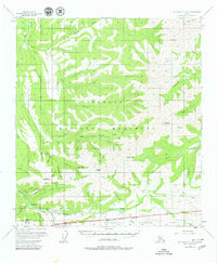
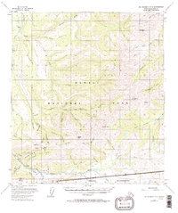
Editions of this 1954 Mount McKinley C-2 Map
6 editions found

Other maps of this area

1951 · Mount McKinley D-1
USGS Topo · 1:63,360

1952 · Mount McKinley
USGS Topo · 1:250,000

1952 · Mount McKinley B-2
USGS Topo · 1:63,360

1952 · Mount McKinley C-3
USGS Topo · 1:63,360

1952 · Mount McKinley B-1
USGS Topo · 1:63,360

1952 · Mount McKinley C-1
USGS Topo · 1:63,360

1952 · Mount McKinley C-2
USGS Topo · 1:63,360

1952 · Mount McKinley D-3
USGS Topo · 1:63,360

1953 · Mount McKinley B-3
USGS Topo · 1:63,360

1954 · Mount McKinley D-2
USGS Topo · 1:63,360