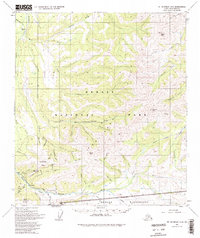
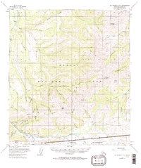
1954 Map of Mount McKinley C-2
USGS Topo · Published 1998About this map
Kantishna and the surrounding mining district dominate this mid-century landscape within what is now Denali National Park and Preserve. The map documents a rugged interior economy of resource extraction, with numerous Placer Mines and the Red Top Mine situated along the drainages of Eureka Creek and Moose Creek. These operations are supported by a Landing Strip and the rustic settlement of Camp Denali, indicating the early layers of tourism and industry in the shadow of Eldorado Mountain.
Find a feature on this map
52 named features on this map. Tap any name to fly to it.
Don’t see what you’re looking for? This feature index may not catch every label — zoom into the map to look around manually.
Map Details
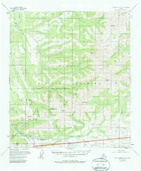
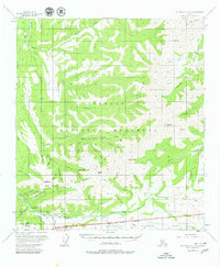
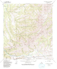
Editions of this 1954 Mount McKinley C-2 Map
6 editions found

Other maps of this area

1951 · Mount McKinley D-1
USGS Topo · 1:63,360

1952 · Mount McKinley
USGS Topo · 1:250,000

1952 · Mount McKinley B-2
USGS Topo · 1:63,360

1952 · Mount McKinley C-3
USGS Topo · 1:63,360

1952 · Mount McKinley B-1
USGS Topo · 1:63,360

1952 · Mount McKinley C-1
USGS Topo · 1:63,360

1952 · Mount McKinley C-2
USGS Topo · 1:63,360

1952 · Mount McKinley D-3
USGS Topo · 1:63,360

1953 · Mount McKinley B-3
USGS Topo · 1:63,360

1954 · Mount McKinley D-2
USGS Topo · 1:63,360