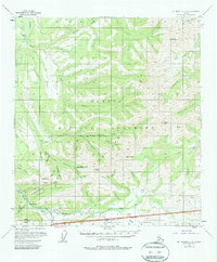
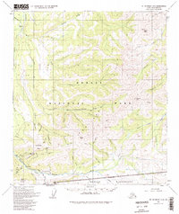
1954 Map of Mount McKinley C-2
USGS Topo · Published 1980About this map
Kantishna and the surrounding mining district define this mid-century survey of the northern reaches of Mount McKinley National Park. The landscape is a network of placer operations and claims, particularly concentrated along Quigley Ridge and the drainages of Eureka Creek and Moose Creek. At this time, the historic mining center is connected by a web of routes including the Caribou Trail, a Jeep Trail, and various tractor paths. High-altitude landmarks like Wickersham Dome, Busia Mountain, and Kankone Peak tower over the creek beds where the Red Top Mine and Little Annie Mine operated. To the south, Camp Denali provides a human anchor near the National Park Boundary, while the north is dominated by the winding path of the Bearpaw River.
Find a feature on this map
58 named features on this map. Tap any name to fly to it.
Don’t see what you’re looking for? This feature index may not catch every label — zoom into the map to look around manually.
Map Details
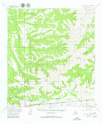
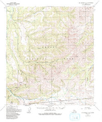
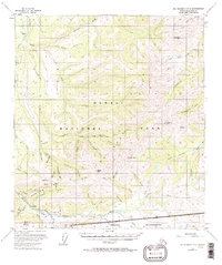
Editions of this 1954 Mount McKinley C-2 Map
6 editions found

Other maps of this area

1951 · Mount McKinley D-1
USGS Topo · 1:63,360

1952 · Mount McKinley
USGS Topo · 1:250,000

1952 · Mount McKinley B-2
USGS Topo · 1:63,360

1952 · Mount McKinley C-3
USGS Topo · 1:63,360

1952 · Mount McKinley B-1
USGS Topo · 1:63,360

1952 · Mount McKinley C-1
USGS Topo · 1:63,360

1952 · Mount McKinley C-2
USGS Topo · 1:63,360

1952 · Mount McKinley D-3
USGS Topo · 1:63,360

1953 · Mount McKinley B-3
USGS Topo · 1:63,360

1954 · Mount McKinley D-2
USGS Topo · 1:63,360