
1954 Map of Mount McKinley B-1
USGS Topo · Published 1963About this map
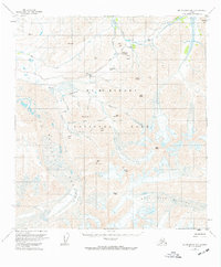
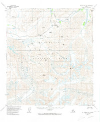
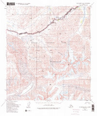
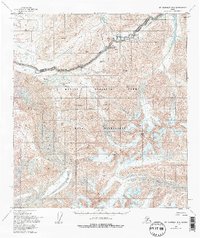
Mount McKinley National Park is defined by its massive glacial systems and high-altitude passes in this mid-century survey. The colossal Muldrow Glacier dominates the western half of the sheet, carving through the terrain alongside the West Fork Glacier and the smaller Sunset Glacier. This 1950s documentation shows the road corridor reaching deep into the interior, connecting Highway Pass to the Eielson Visitors Center, a vital landmark for early park visitors situated near Mt Eielson. The drainage patterns are clearly established by the north-flowing McKinley River and Stony Creek, while the presence of Copper Mtn Bar and numerous peaks like Castle Peak and Scott Peak illustrate the complex alpine topography before the area was renamed. The map effectively captures the transition from glacial ice to the braided river channels of Thorofare Creek.
Find a feature on this map
39 named features on this map. Tap any name to fly to it.
Don’t see what you’re looking for? This feature index may not catch every label — zoom into the map to look around manually.
Map Details
Editions of this 1954 Mount McKinley B-1 Map
5 editions found
Other maps of this area

1949 · Healy A-6
USGS Topo · 1:63,360

1951 · Healy
USGS Topo · 1:250,000

1952 · Mount McKinley
USGS Topo · 1:250,000

1952 · Mount McKinley B-2
USGS Topo · 1:63,360

1952 · Mount McKinley B-1
USGS Topo · 1:63,360

1952 · Mount McKinley C-1
USGS Topo · 1:63,360

1952 · Mount McKinley C-2
USGS Topo · 1:63,360

1953 · Healy A-6
USGS Topo · 1:63,360

1954 · Healy C-6
USGS Topo · 1:63,360

1954 · Healy B-6
USGS Topo · 1:63,360