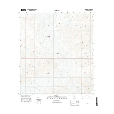
2015 Map of Denali B-1 SW
USGS Topo · Published 2015About this map
Denali National Park encompasses this high-elevation terrain, dominated by the massive ice flow of the Muldrow Glacier as it moves through the central portion of the landscape. The topography is defined by significant vertical relief, with prominent landmarks such as Castle Rock and Red Mtn rising above the surrounding drainages. A network of glacial meltwater and seasonal streams, including Glacier Creek, Wolverine Creek, and Crystal Creek, carve through the valleys between high ridges. Green Point provides a distinct navigational marker along the northern reaches of the glacier. This survey illustrates the protected wilderness character of the interior Alaska Range, where natural features are the primary points of reference and human infrastructure is absent, emphasizing the preservation of the glacial and mountain systems.
Find a feature on this map
16 named features on this map. Tap any name to fly to it.
Don’t see what you’re looking for? This feature index may not catch every label — zoom into the map to look around manually.
Map Details
Editions of this 2015 Denali B-1 SW Map
This is the sole edition of this map. No revisions or reprints were ever made.
Other maps of this area

1952 · Mount McKinley
USGS Topo · 1:250,000

1952 · Mount McKinley B-2
USGS Topo · 1:63,360

1952 · Mount McKinley B-1
USGS Topo · 1:63,360

1954 · Mount McKinley B-1
USGS Topo · 1:63,360

1954 · Mount McKinley A-2
USGS Topo · 1:63,360

1954 · Mount McKinley A-1
USGS Topo · 1:63,360

1954 · Mount McKinley B-2
USGS Topo · 1:63,360

1958 · Mount McKinley
USGS Topo · 1:250,000

1969 · Mount McKinley
USGS Topo · 1:250,000
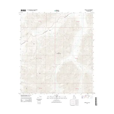
2015 · Denali B-1 NE
USGS Topo · 1:25,000