
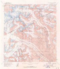
1954 Map of Mount McKinley A-1
USGS Topo · Published 1965About this map
Mt McKinley National Park dominates this mid-century topographic study, showcasing a landscape defined by massive ice flows and high-altitude peaks. The survey, based on 1954 aerial photography and field annotation, documents the sweeping expanse of the Eldridge Glacier as it moves through the southern portion of the quadrangle. High-altitude points such as Mount Mather and Mount Eldridge serve as primary landmarks amidst a network of intricate contour lines and numerous crevasses that mark the glacial surfaces. In the northwest corner, the Muldrow Glacier is visible, illustrating the complex drainage patterns of this portion of the Alaska Range. This map captures the park's interior before significant modern infrastructure, providing a baseline for glaciologists and alpine historians tracking the movement and state of these iconic ice fields during the mid-1950s.
Find a feature on this map
6 named features on this map. Tap any name to fly to it.
Don’t see what you’re looking for? This feature index may not catch every label — zoom into the map to look around manually.
Map Details
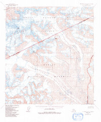
Editions of this 1954 Mount McKinley A-1 Map
3 editions found
Other maps of this area

1949 · Talkeetna Mountains D-6
USGS Topo · 1:63,360

1949 · Healy A-6
USGS Topo · 1:63,360

1950 · Talkeetna Mountains
USGS Topo · 1:250,000

1950 · Talkeetna
USGS Topo · 1:250,000

1951 · Talkeetna
USGS Topo · 1:250,000

1951 · Healy
USGS Topo · 1:250,000

1951 · Talkeetna Mountains D-6
USGS Topo · 1:63,360

1952 · Mount McKinley
USGS Topo · 1:250,000

1952 · Talkeetna Mountains D-6
USGS Topo · 1:63,360

1952 · Mount McKinley B-2
USGS Topo · 1:63,360