
1951 Map of Talkeetna Mountains D-6
USGS Topo · Published 1966About this map
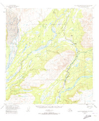
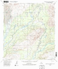
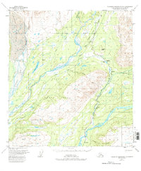
The Alaska Railroad serves as the primary corridor through this mountainous interior, tracing the edge of the Indian River and Chulitna River valleys. Along its route, the small settlements of Hurricane, Chulitna, and Gold Creek represent the scattered human presence in a landscape dominated by the Eldridge Glacier to the northwest. The presence of a Sled Road and several markers like Mile 280 and Mile 275 indicate the reliance on the rail line and winter trails for movement through the terrain. High-altitude survey points like VABM 4559 Indian and VABM 1280 Moose overlook the braided channels of the Susitna River and the narrow passage through Canyon. This 1951 record, annotated from 1949 aerial photography, documents the infrastructure supporting the interior before more modern development reached the region.
Find a feature on this map
33 named features on this map. Tap any name to fly to it.
Don’t see what you’re looking for? This feature index may not catch every label — zoom into the map to look around manually.
Map Details
Editions of this 1951 Talkeetna Mountains D-6 Map
4 editions found
Other maps of this area

1949 · Talkeetna Mountains D-6
USGS Topo · 1:63,360

1949 · Talkeetna Mountains C-6
USGS Topo · 1:63,360

1949 · Healy A-6
USGS Topo · 1:63,360

1950 · Talkeetna Mountains
USGS Topo · 1:250,000

1950 · Talkeetna
USGS Topo · 1:250,000

1950 · Talkeetna Mountains D-5
USGS Topo · 1:63,360

1950 · Healy A-5
USGS Topo · 1:63,360

1950 · Talkeetna Mountains C-5
USGS Topo · 1:63,360

1951 · Talkeetna
USGS Topo · 1:250,000

1951 · Healy
USGS Topo · 1:250,000