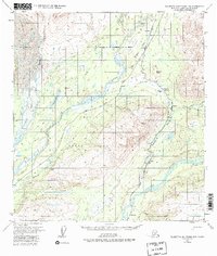
1951 Map of Talkeetna Mountains D-6
USGS Topo · Published 1983About this map
The Alaska Railroad serves as the industrial spine of this Alaskan corridor, winding through the river valleys of the Chulitna River and Susitna River. Small rail-dependent settlements such as Hurricane, Canyon, and Gold Creek are primary nodes of activity in this remote landscape, positioned alongside the newer corridor of the Parks Highway. The geography is defined by significant glacial features, with the massive Eldridge Glacier dominating the northwestern corner, feeding the Fountain River. Central to the map is the vast expanse of Denali State Park, which preserves the transition from river bottoms to high peaks like Chulitna Butte. Local landmarks such as Lucy Lake and Chulitna Pass highlight the navigation routes used before and after the rail line's expansion through the interior.
Find a feature on this map
30 named features on this map. Tap any name to fly to it.
Don’t see what you’re looking for? This feature index may not catch every label — zoom into the map to look around manually.
Map Details
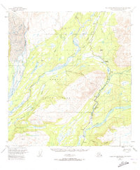
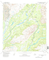
Editions of this 1951 Talkeetna Mountains D-6 Map
4 editions found

Other maps of this area

1949 · Talkeetna Mountains D-6
USGS Topo · 1:63,360

1949 · Talkeetna Mountains C-6
USGS Topo · 1:63,360

1949 · Healy A-6
USGS Topo · 1:63,360

1950 · Talkeetna Mountains
USGS Topo · 1:250,000

1950 · Talkeetna
USGS Topo · 1:250,000

1950 · Talkeetna Mountains D-5
USGS Topo · 1:63,360

1950 · Healy A-5
USGS Topo · 1:63,360

1950 · Talkeetna Mountains C-5
USGS Topo · 1:63,360

1951 · Talkeetna
USGS Topo · 1:250,000

1951 · Healy
USGS Topo · 1:250,000