
1954 Map of Mount McKinley A-2
USGS Topo · Published 1964About this map
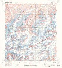
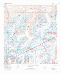
Muldrow Glacier dominates this high-altitude 1954 survey of Mount Mc Kinley National Park, flowing from the massive peaks of the central Alaska Range. The map illustrates a complex network of ice and rock where the Traleika Glacier and Brooks Glacier feed into the larger glacial systems. Significant elevations are recorded at summits like Mount Brooks and Mount Silverthrone, while lower-level navigations are marked by McGonagall Pass and Oastler Pass. The dramatic relief of the Carpe Ridge and Pioneer Ridge defines the drainage patterns of the North Fork and West Fork. Mapping efforts by the Museum of Science, Boston, and the U.S. Geological Survey utilized 1952 aerial photography to document this glaciated wilderness before subsequent name changes and park expansions altered the official nomenclature of the region.
Find a feature on this map
49 named features on this map. Tap any name to fly to it.
Don’t see what you’re looking for? This feature index may not catch every label — zoom into the map to look around manually.
Map Details
Editions of this 1954 Mount McKinley A-2 Map
3 editions found
Other maps of this area

1950 · Talkeetna
USGS Topo · 1:250,000

1951 · Talkeetna
USGS Topo · 1:250,000

1952 · Mount McKinley
USGS Topo · 1:250,000

1952 · Mount McKinley B-2
USGS Topo · 1:63,360

1952 · Mount McKinley B-1
USGS Topo · 1:63,360

1953 · Mount McKinley B-3
USGS Topo · 1:63,360

1954 · Mount McKinley B-1
USGS Topo · 1:63,360

1954 · Mount McKinley B-3
USGS Topo · 1:63,360

1954 · Mount McKinley A-3
USGS Topo · 1:63,360

1954 · Mount McKinley A-1
USGS Topo · 1:63,360