
1954 Map of Mount McKinley B-3
USGS Topo · Published 1963About this map
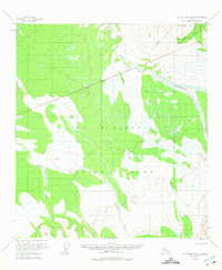
Mt McKinley National Park dominates this subarctic landscape during the mid-1950s, revealing a wilderness defined by glacial drainages and mining activity. The northeast corner is notably busy with human enterprise, centered around the Antimony Mine and the Slate mining area within the Kantishna Hills. These operations are connected by a mapped Trail that skirts Brooker Mtn, providing a look at the early resource extraction era before modern infrastructure reached deep into the interior. To the south and west, the terrain transitions into a complex network of wetlands and shifting waterways. The braided Muddy River cuts through the McKinley Gorge and spills out over the McKinley Bar, while long drainages like Slippery Creek and Birch Creek flow through broad valleys of unsurveyed land.
Find a feature on this map
19 named features on this map. Tap any name to fly to it.
Don’t see what you’re looking for? This feature index may not catch every label — zoom into the map to look around manually.
Map Details
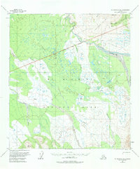
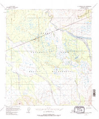
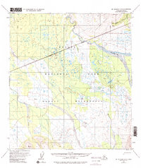
Editions of this 1954 Mount McKinley B-3 Map
5 editions found
Other maps of this area

1952 · Mount McKinley
USGS Topo · 1:250,000

1952 · Mount McKinley B-2
USGS Topo · 1:63,360

1952 · Mount McKinley C-3
USGS Topo · 1:63,360

1952 · Mount McKinley C-2
USGS Topo · 1:63,360

1953 · Mount McKinley B-4
USGS Topo · 1:63,360

1953 · Mount McKinley B-3
USGS Topo · 1:63,360

1953 · Mount McKinley C-4
USGS Topo · 1:63,360

1953 · Mount McKinley A-4
USGS Topo · 1:63,360

1954 · Mount McKinley C-4
USGS Topo · 1:63,360

1954 · Mount McKinley A-4
USGS Topo · 1:63,360