
1954 Map of Mount McKinley A-3
USGS Topo · Published 1964About this map
Mt McKinley National Park encompasses a landscape defined by massive glacial systems and high-altitude peaks as surveyed in the early 1950s. The immense Kahiltna Glacier and Foraker Glacier dominate the southern and western portions of the sheet, while the Straightaway Glacier carves a path through the central terrain. High points include North Peak and South Peak, with specialized landmarks like Archdeacons Tower and Farthing Horn noted along the ridges.
Find a feature on this map
38 named features on this map. Tap any name to fly to it.
Don’t see what you’re looking for? This feature index may not catch every label — zoom into the map to look around manually.
Map Details
Editions of this 1954 Mount McKinley A-3 Map
4 editions found
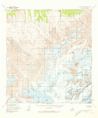
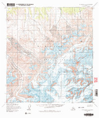
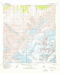
Other maps of this area

1950 · Talkeetna
USGS Topo · 1:250,000

1951 · Talkeetna
USGS Topo · 1:250,000

1952 · Mount McKinley
USGS Topo · 1:250,000

1952 · Mount McKinley B-2
USGS Topo · 1:63,360

1953 · Mount McKinley B-4
USGS Topo · 1:63,360

1953 · Mount McKinley B-3
USGS Topo · 1:63,360

1953 · Mount McKinley A-4
USGS Topo · 1:63,360

1954 · Mount McKinley A-4
USGS Topo · 1:63,360

1954 · Mount McKinley B-3
USGS Topo · 1:63,360

1954 · Mount McKinley A-2
USGS Topo · 1:63,360