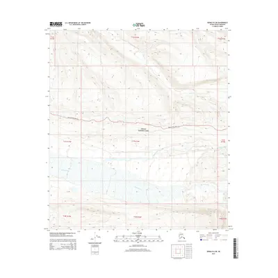
2015 Map of Denali B-2 NE
USGS Topo · Published 2015About this map
Denali National Park is defined by its dramatic glacial drainage systems and the singular transit artery that penetrates this wilderness. The Denali National Park Road winds across the northern half of this landscape, following the contours of the high ground above the braided channels of the McKinley River and the Thorofare River. These wide river valleys are characterized by shifting gravel bars and seasonal meltwater, illustrating the dynamic geological forces at work within the Alaska Range. To the north, Moose Cr cuts through the uplands, contributing to the complex hydrology that feeds the larger McKinley basin. This 2015 survey captures the protected area's topography at a point of continued environmental monitoring, showing the relationship between the fragile road infrastructure and the powerful glacial rivers it must navigate.
Find a feature on this map
14 named features on this map. Tap any name to fly to it.
Don’t see what you’re looking for? This feature index may not catch every label — zoom into the map to look around manually.
Map Details
Editions of this 2015 Denali B-2 NE Map
This is the sole edition of this map. No revisions or reprints were ever made.
Other maps of this area

1952 · Mount McKinley
USGS Topo · 1:250,000

1952 · Mount McKinley B-2
USGS Topo · 1:63,360

1952 · Mount McKinley B-1
USGS Topo · 1:63,360

1952 · Mount McKinley C-1
USGS Topo · 1:63,360

1952 · Mount McKinley C-2
USGS Topo · 1:63,360

1954 · Mount McKinley C-1
USGS Topo · 1:63,360

1954 · Mount McKinley B-1
USGS Topo · 1:63,360

1954 · Mount McKinley B-2
USGS Topo · 1:63,360

1954 · Mount McKinley C-2
USGS Topo · 1:63,360

1958 · Mount McKinley
USGS Topo · 1:250,000