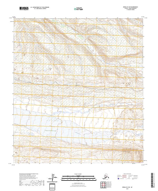
2023 Map of Denali B-2 NE
USGS Topo · Published 2023About this map
Denali National Park and the expansive Denali Wilderness dominate this interior Alaska landscape, where glacial meltwater and seasonal runoff carve a complex braided network through the valley floors. The McKinley River and Thorofare River define the lower elevations of the quadrangle, illustrating the dynamic nature of these northern waterways as they shift across wide gravel beds. Cutting through the center of the sheet, the Park Road provides the primary corridor for navigation through this protected wilderness, following the contours of the land between the river valleys and the northern reaches of Moose Creek. The map detail captures a specific moment in the early 21st century when the balance between human access and wilderness preservation is centered along this single unpaved thoroughfare.
Find a feature on this map
15 named features on this map. Tap any name to fly to it.
Don’t see what you’re looking for? This feature index may not catch every label — zoom into the map to look around manually.
Map Details
Editions of this 2023 Denali B-2 NE Map
This is the sole edition of this map. No revisions or reprints were ever made.
Other maps of this area

1952 · Mount McKinley
USGS Topo · 1:250,000

1952 · Mount McKinley B-2
USGS Topo · 1:63,360

1952 · Mount McKinley B-1
USGS Topo · 1:63,360

1952 · Mount McKinley C-1
USGS Topo · 1:63,360

1952 · Mount McKinley C-2
USGS Topo · 1:63,360

1954 · Mount McKinley C-1
USGS Topo · 1:63,360

1954 · Mount McKinley B-1
USGS Topo · 1:63,360

1954 · Mount McKinley B-2
USGS Topo · 1:63,360

1954 · Mount McKinley C-2
USGS Topo · 1:63,360

1958 · Mount McKinley
USGS Topo · 1:250,000