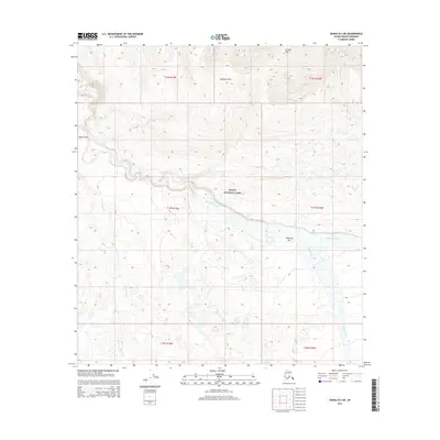
2015 Map of Denali B-3 NE
USGS Topo · Published 2015About this map
Denali National Park encompasses a significant portion of this interior Alaskan landscape, dominated by the winding path of the McKinley River. The northern portion of the map is defined by the high elevations of the Kantishna Hills, where Brooker Mtn serves as a prominent landmark. This area, known for its historical mining activity, is drained by a network of waterways including Slate Cr and Bear Cr that flow through the upland terrain.
Find a feature on this map
18 named features on this map. Tap any name to fly to it.
Don’t see what you’re looking for? This feature index may not catch every label — zoom into the map to look around manually.
Map Details
Editions of this 2015 Denali B-3 NE Map
This is the sole edition of this map. No revisions or reprints were ever made.
Other maps of this area

1952 · Mount McKinley
USGS Topo · 1:250,000

1952 · Mount McKinley B-2
USGS Topo · 1:63,360

1952 · Mount McKinley C-3
USGS Topo · 1:63,360

1952 · Mount McKinley C-2
USGS Topo · 1:63,360

1953 · Mount McKinley B-3
USGS Topo · 1:63,360

1954 · Mount McKinley B-3
USGS Topo · 1:63,360

1954 · Mount McKinley B-2
USGS Topo · 1:63,360

1954 · Mount McKinley C-2
USGS Topo · 1:63,360

1958 · Mount McKinley
USGS Topo · 1:250,000

1969 · Mount McKinley
USGS Topo · 1:250,000