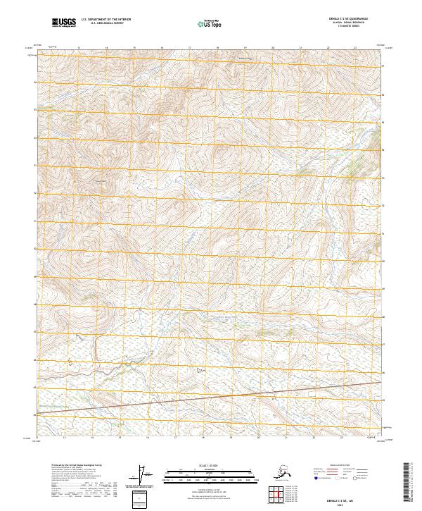
2023 Map of Denali C-2 SE
USGS Topo · Published 2023About this map
Denali National Park and the protected Denali Wilderness dominate the southern portion of this interior Alaskan landscape. High-altitude peaks such as Kankone Peak and Spruce Peak define the hydrological divide, shedding water into a complex network of drainages. The North Fork Moose Creek and the main stem of Moose Creek collect many of these seasonal flows, including waters from Four Gulch and Glen Creek.
Find a feature on this map
22 named features on this map. Tap any name to fly to it.
Don’t see what you’re looking for? This feature index may not catch every label — zoom into the map to look around manually.
Map Details
Editions of this 2023 Denali C-2 SE Map
This is the sole edition of this map. No revisions or reprints were ever made.
Other maps of this area

1952 · Mount McKinley
USGS Topo · 1:250,000

1952 · Mount McKinley B-2
USGS Topo · 1:63,360

1952 · Mount McKinley B-1
USGS Topo · 1:63,360

1952 · Mount McKinley C-1
USGS Topo · 1:63,360

1952 · Mount McKinley C-2
USGS Topo · 1:63,360

1954 · Mount McKinley C-1
USGS Topo · 1:63,360

1954 · Mount McKinley B-1
USGS Topo · 1:63,360

1954 · Mount McKinley B-2
USGS Topo · 1:63,360

1954 · Mount McKinley C-2
USGS Topo · 1:63,360

1958 · Mount McKinley
USGS Topo · 1:250,000