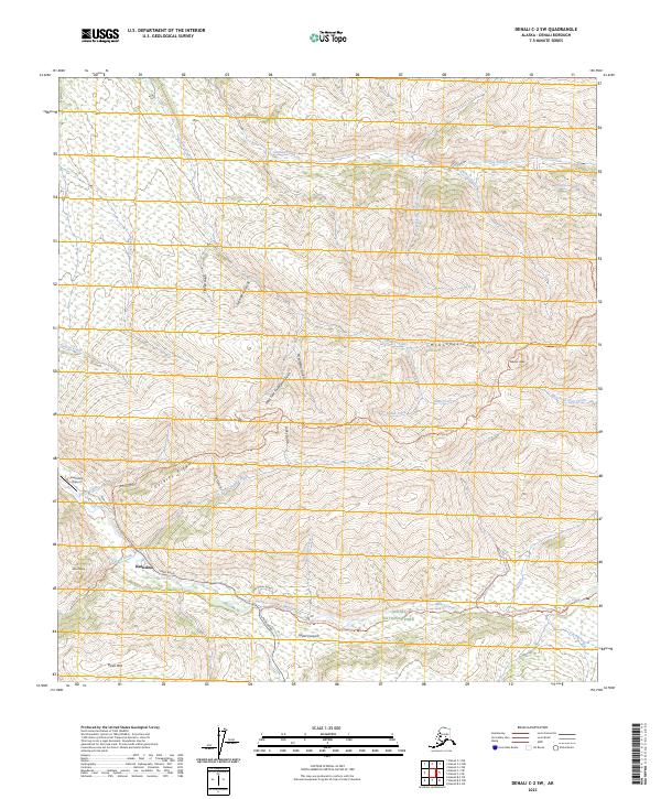
2023 Map of Denali C-2 SW
USGS Topo · Published 2023About this map
Kantishna and the small settlement of Upper Canyon stand as the primary human outposts in this interior Alaskan landscape. Located within the northern reaches of Denali National Park, the area is defined by a dense network of gold-bearing drainages including Moose Creek, Eureka Creek, and Eldorado Creek. A series of historic mining trails and access routes, such as Skyline Drive and the Moose Creek Road Trl, traverse the high ground of Quigley Ridge and Wickersham Dome.
Find a feature on this map
45 named features on this map. Tap any name to fly to it.
Don’t see what you’re looking for? This feature index may not catch every label — zoom into the map to look around manually.
Map Details
Editions of this 2023 Denali C-2 SW Map
This is the sole edition of this map. No revisions or reprints were ever made.
Other maps of this area

1952 · Mount McKinley
USGS Topo · 1:250,000

1952 · Mount McKinley B-2
USGS Topo · 1:63,360

1952 · Mount McKinley C-3
USGS Topo · 1:63,360

1952 · Mount McKinley C-2
USGS Topo · 1:63,360

1953 · Mount McKinley B-3
USGS Topo · 1:63,360

1954 · Mount McKinley B-3
USGS Topo · 1:63,360

1954 · Mount McKinley B-2
USGS Topo · 1:63,360

1954 · Mount McKinley C-2
USGS Topo · 1:63,360

1958 · Mount McKinley
USGS Topo · 1:250,000

1969 · Mount McKinley
USGS Topo · 1:250,000